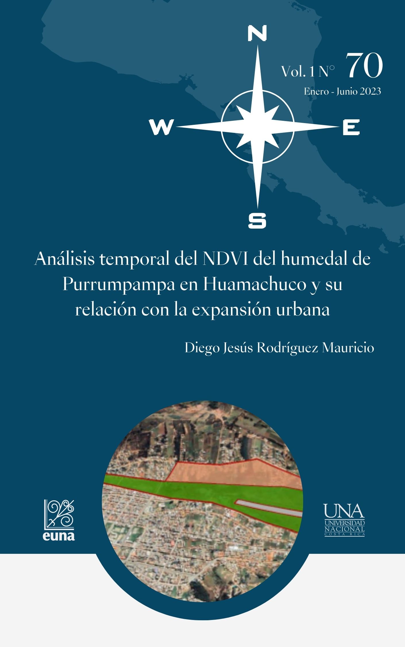
Temporal analysis of the NDVI of the Purrumpampa wetland in Huamachuco and its relationship with urban expansion
DOI:
https://doi.org/10.15359/rgac.70-1.16Keywords:
NDVI, urban sprawl, wetlandsAbstract
Urban expansion generally implies the informal occupation of vulnerable natural spaces, which leads to the deterioration of these ecosystems. This same phenomenon occurs in the Purrumpama wetland, located in Huamachuco, a city in the Sierra Libertad of Peru. For this reason, the objective of this article was to carry out a temporal analysis of the flora present in the wetland, contrasting the results obtained with a temporal analysis in Google Earth and identifying the relationship with urban expansion. For this purpose, Landsat 8 and Google Earth satellite images were used, delimiting the study area as established by the plans of the Sánchez Carrión Provincial Municipality. In this way, it will continue that there is a constant decrease in vegetation cover in the South and South-East areas of the wetland, calculating a loss of 74,792 m2 of the wetland from 2012 to 2021. Likewise, it was argued that the ambivalent actions of the municipality has legitimized the occupation of houses and control actions have been ineffective.
References
Cruz, F. (2021). Patrones de expansión urbana de las megaurbes lati- noamericanas en el nuevo milenio. EURE, 47 (140). http://dx.doi. org/10.7764/eure.47.140.02
Galimberti, C. (2021). Nuevos procesos de expansión metropolitana: in- cremento acelerado de suelo urbano en el Área Metropolitana de Rosario (1990-2010). EURE, 47 (140). https://doi.org/10.7764/ eure.47.140.03
García, P., Domínguez, P., Corral, J., Pompa, M., Chávez, J., López, P., Rodríguez, R. y Padilla, J. (2021). Estimación de volumen forestal mediante imágenes de satélite Landsat 8 OLI en bosques templados mixtos. Investigación y Ciencia, 29 (81), 40-49.
HCO TV Huamachuco. (2021, 28 de mayo). MPSC CERCARÁ PAMPAS DE PURRUMPAMPA. https://www.facebook.com/hcotvhuamachuco/ videos/132812072157217
Instituto Geográfico Nacional. (2022). Descarga de Información Geoespa- cial. http://www.idep.gob.pe/
Municipalidad Provincial Sánchez Carrión y Pontificia Universi- dad Católica del Perú. (2016). Plan Urbano Específico “Pam- pas de Purrumpampa” 2016-2026. https://es.scribd.com/ document/478201535/P-E-PURRUPAMPA
National Aeronautics and Space Administration. (2019). Landsat 8. https:// eospso.nasa.gov/missions/landsat-8
Ojeda, N., Herrera, M., Bustamante, R., Morales, L., Carrillo, R., Bravo, L., Espinoza, A., Neira, Z., Calzadilla, S. & San-Miguel, J. (2019). Efecto de las áreas de entrenamiento y método del árbol para una clasificación precisa en bosques primarios de Araucaria Y Nothofa- gus en el sur de Chile: uso de datos LANDSAT e información auxi- liar. Interciencia, 44 (6), 347-354.
Tucker, C. (1979). Red and photographic infrared linear combinations for monitoring vegetation. Remote Sensing Environment, 8 (2), 127-150.
Rouse, J., Haas, R., Schell, J. & Ciervo, D. (1974). Monitoring vegetation systems in the great plains with ERTS. Third Earth Resources Tech- nology Satellite (ERTS). American Journal of Plant Sciences, 7(15),
-317.
RTC Noticias Huamachuco. (2022, 12 de enero). Increíble cerco de pam- pas de Purrumpampa-Huamachuco a punto de desaparecer a pocos meses de su ejecución por parte de la MPSC. https://www.facebook. com/rtcnoticiashuamachuco/posts/495461432184831
Rueda, F., Peñaranda, L., Velásquez, W.& Díaz, S. (2015). Aplicación de una metodología de análisis de datos obtenidos por percepción remota orientados a la estimación de la productividad de caña para panela al cuantificar el NDVI (índice de vegetación de dife- rencia normalizada). Corpoica. Ciencia y Tecnología Agorpecua- ria, 16, 25-40.
Salinas, C., Martínez, R. & Morales, M. (2017). Tendencia en el siglo XXI del Índice de Diferencias Normalizadas de Vegetación (NDVI) en la parte sur de la península de Baja California. Investigaciones geográ- ficas, 1(94), 01-09. DOI: 10.14350/rig.57214
Sánchez, J. (2018). Expansión urbana en la degradación de las lomas de Mangomarca en la asociación ecoturística, San Juan de Lurigan- cho-2017 [Tesis de licenciatura, Universidad Cesar Vallejo]. Reposi- torio Institucional Digital. https://hdl.handle.net/20.500.12692/21173
Tiedeman, J. (2015). Fenología y productividad primaria neta aérea de sis- temas pastoriles de Panicum maximun en el Dpto. Moreno, Santiago del Estero, Argentina, derivada del NDVI MODIS. Ecología Aplica- da, 14, 27-39.
United Nations International Children’s Emergency Fund. (2017). PERU Humanitarian Situation Report End of year 2017. https://www. unicef.org/peru/sites/unicef.org.peru/files/2019-12/UNICEF_Peru_ Humanitarian_Situation_Report_Year_End_2017.pdf
Vilela, M. y Moschella, P. (2017). Paisaje y expansión urbana sobre es- pacios naturales en ciudades intermedias. El caso de Purrumpampa en Huamachuco, La Libertad, Perú. Bulletin de l’Institut français d’études andines, 46 (3), 529-550.

Published
How to Cite
Issue
Section
License
Proposed policy for journals offering Open Access
Authors publishing their works in the Journal acknowledge and agree to the following terms:
a) Authors retain the copyrights to their works and guarantee the Journal the right to be the first to publish their works, under the Creative Commons License Attribution-NonCommercial-ShareAlike 4.0 International, CC BY-NC-SA 4.0 International (https://creativecommons.org/licenses/by-nc-sa/4.0/deed.es), which allows others to share works upon complying with the acknowledgment of authorship and mention of the Journal as the original publisher of the work.
b) Authors are permitted to separately establish additional agreements for the non-exclusive distribution of the official edition of the work published in the Journal (for example, authors may desire to place the work in an institutional repository or incorporate it into a book that is to published elsewhere) so long they acknowledgment to recognize the Journal as the original publisher. The aforementioned additional agreements must respect the terms of the non-profit character and sharing philosophy of the original license (CC BY-NC-SA 4.0 International, https://creativecommons.org/licenses/by-nc-sa/4.0/deed.es).
c) Authors are encouraged to archive the post-print or editor/PDF version in Open Access repositories.


 REVGEO is licensed under https://creativecommons.org/licenses/by-nc-sa/4.0/deed.es
.svg_4.png)

_(1).png)
_(1)_(1)_(1)_1.png)
(2)(1)(1)(1).png)
