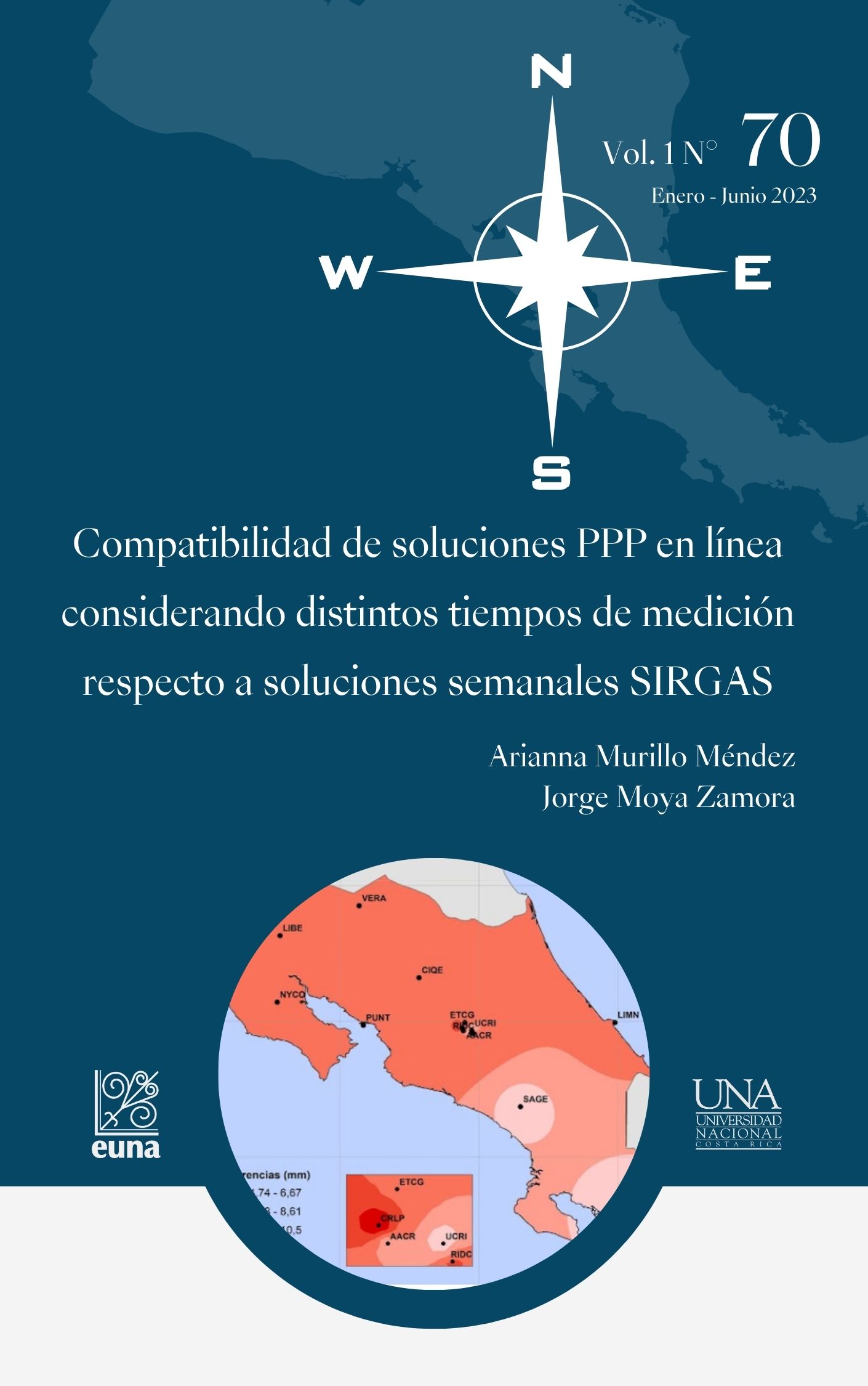
Compatibility of online PPP solutions considering different time intervals with respect to weekly SIRGAS solutions
DOI:
https://doi.org/10.15359/rgac.70-1.3Keywords:
PPP solutions, SIRGAS solutions, measurement intervals, comparison, geo-referenceAbstract
Precise Point Positioning (PPP) online was carried out on a set of daily observation files belonging to 13 GNSS stations of continuous operation in Costa Rica, which were adapted to three-time intervals: 24 hours, 6 hours in the morning and 6 hours in the afternoon. The study was conducted between week 1934 and week 1986. The main objective was to determine the influence of the different time intervals on the PPP solutions obtained through the Canadian CSRS-PPP online service and their discrepancies with respect to the coordinates calculated weekly by the Sistema de Referencia Geodésico para las Américas (SIRGAS) and that are currently linked to the ITRF2014/IGb2014 solution. The results showed that the differences in the geocentric components, in addition to the time interval used in the processing, also depend on the geographical location, which represents an element to consider if users contemplate this online service as an option for computation of GNSS observations.
References
Albán, M. (2018). Técnica de Posicionamiento Puntual Preciso (PPP) Aplicada a la Estimación de Vapor de Agua Precipitable (PWV) de la Estación EPEC.. Universidad de las Fuerzas Armadas. http://repositorio.espe.edu.ec/handle/21000/14672
Altamimi, Z., Rebischung, P., Metivier, L. y Collilieux, X. (2016), A new release of the International Terrestrial Reference Frame modeling nonlinear station motions, J. Geophys. Res. Solid Earth, 121. https:// doi.org/10.1002/2016JB013098
Berné, J. y Garrido, N. (2014). GPS: Fundamentos y aplicaciones en la geomática. 1era ed. Editorial Universitat Politècnica de València
BKG. (2022). BKG Ntrip Client. https://igs.bkg.bund.de/ntrip/bnc
CSRS-PPP. (2022). Point Positionning. https://webapp.geod.nrcan.gc.ca/ geod/tools-outils/ppp.php
Leick, A. (2015). GPS Satellite Surveying. 4 edición. John Wiley & Sons, Inc. Moya, J. y S. Bastos (2015). Procesamiento GNSS en línea como alter- nativas a diferentes aplicaciones geodésicas. Uniciencia 29 (2).
-14. https://www.revistas.una.ac.cr/index.php/uniciencia/article/ view/6755/6897
Moya, J., Núñez C. y Cubillo, J. (2017). Usando la red de estaciones SIR- GAS de Costa Rica para la cuantificación de las discrepancias respecto de un procesamiento PPP en línea. Ingeniería. 27 (1). 39-55. https://revistas.ucr.ac.cr/index.php/ingenieria/article/view/25429/28750
Murillo, A. (2021). Análisis de las discrepancias en las coordenadas geocéntricas en una red de estaciones GNSS de operación continua en Costa Rica considerando un procesamiento PPP en línea con diferentes intervalos de tiempo respecto a las soluciones finales SIR- GAS. Tesis de Licenciatura, Universidad de Costa Rica.
SIRGAS. (2022). El Sistema Geodésico para las Américas SIRGAS. https://sirgas.ipgh.org/realizaciones/introduccion/
TEQC. (2022). TEQC. https://www.unavco.org/software/data-processing/ teqc/teqc.html
Wessel, P. et al. (2019). “The Generic Mapping Tools Version 6.1.1,” Tools for manipulating geographic and Cartesian data and creating plots, maps, and 3D views. https://docs.generic-mapping-tools.org/6.1/tu- torial.html

Published
How to Cite
Issue
Section
License
Proposed policy for journals offering Open Access
Authors publishing their works in the Journal acknowledge and agree to the following terms:
a) Authors retain the copyrights to their works and guarantee the Journal the right to be the first to publish their works, under the Creative Commons License Attribution-NonCommercial-ShareAlike 4.0 International, CC BY-NC-SA 4.0 International (https://creativecommons.org/licenses/by-nc-sa/4.0/deed.es), which allows others to share works upon complying with the acknowledgment of authorship and mention of the Journal as the original publisher of the work.
b) Authors are permitted to separately establish additional agreements for the non-exclusive distribution of the official edition of the work published in the Journal (for example, authors may desire to place the work in an institutional repository or incorporate it into a book that is to published elsewhere) so long they acknowledgment to recognize the Journal as the original publisher. The aforementioned additional agreements must respect the terms of the non-profit character and sharing philosophy of the original license (CC BY-NC-SA 4.0 International, https://creativecommons.org/licenses/by-nc-sa/4.0/deed.es).
c) Authors are encouraged to archive the post-print or editor/PDF version in Open Access repositories.


 REVGEO is licensed under https://creativecommons.org/licenses/by-nc-sa/4.0/deed.es
.svg_4.png)

_(1).png)
_(1)_(1)_(1)_1.png)
(2)(1)(1)(1).png)
