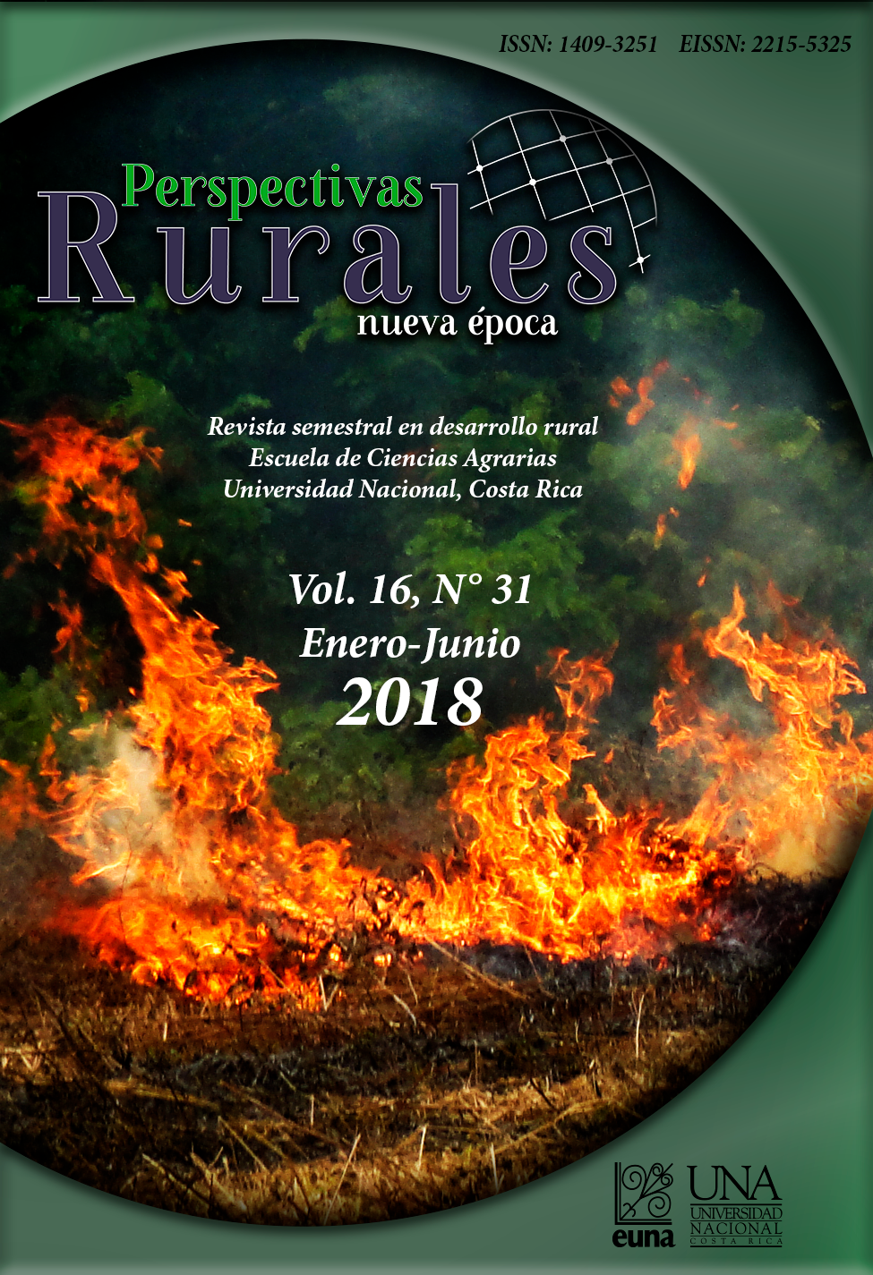
How Big is a Fire in Northern South American Savannas?
DOI:
https://doi.org/10.15359/prne.16-31.2Keywords:
Orinoquía, Colombia, large fires, satellite imagesAbstract
Knowing the extent of burned areas in the tropics is vital due to their environmental impacts. The Colombian Orinoquía region is affected by a burning season every year and presents natural conditions for the development of considerable size fires. The goal of this study was to determine what size a fire needs to be in order to be considered large, as well as the characteristics of these fires in the study area. For such purpose, a methodology was developed and applied based on MODIS satellite images, which were used to analyze and identify burned footprints using available historical data. The threshold used to consider a burned footprint as a “large fire” (≥214 ha) was determined by adapting Pareto’s 80-20 principle applied to the time series available and the particular conditions of the study region. Further analysis was conducted to establish temporality of burned areas by identifying the large burned areas between 2000 and 2014. Results show that large fires last approximately three days and cover an average of approximately 625 hectares. The largest fires occurred in regions with the highest occurrence of fires over the years, specifically, in areas with flat topography and vegetation cover prone to burning.
References
Aldersley, A., Murray, S. J., & Cornell, S. E. (2011). Global and regional analysis of climate and human drivers of wildfire. Science of the Total Environment, 409(18), 3472–3481. http://doi.org/10.1016/j.scitotenv.2011.05.032
Armenteras-Pascual, D., Retana-Alumbreros, J., Molowny-Horas, R., Roman-Cuesta, R. M., González-Alonso, F., & Morales-Rivas, M. (2011). Characterising fire spatial pattern interactions with climate and vegetation in Colombia. Agricultural and Forest Meteorology, 151(3), 279–289.
Brown, J. K., & Smith, J. K. (2000). Wildland fire in ecosystems: effects of fire on flora. The Rainbow Series (Vol. 42). Retrieved from http://www.treesearch.fs.fed.us/pubs/4554/
Cochrane, M. A, & Ryan, K. C. (2009). Fire and fire ecology: Concepts and principles. Tropical Fire Ecology: Climate Change, Land Use, and Ecosystem Dynamics, 25–62. http://doi.org/10.1007/978-3-540-77381-8_2
Correa, H. D, Ruiz, S. L. y Arévalo, L. M. (Eds.). (2006). Plan de acción en biodiversidad de la cuenca del Orinoco-Colombia 2005-2015: Propuesta técnica. Bogotá D.C: Corporinoquia, Cormacarena, IAvH, Unitrópico, Fundación Omacha, Fundación Horizonte Verde, Universidad Javeriana, Unillanos, WWF - Colombia, GTZ.
Ganteaume, A., & Jappiot, M. (2013). What causes large fires in Southern France. Forest Ecology and Management, 294, 76–85. http://doi.org/10.1016/j.foreco.2012.06.055
Gill, A. M., & Allan, G. (2008). Large fires, fire effects and the fire-regime concept. International Journal of Wildland Fire, 17(6), 688–695.
Lasso, C., Usma, J., Trujillo, F., & Rial, B. (2010). Biodiversidad de la cuenca del Orinoco: Bases científicas para la identificación de áreas prioritarias para la conservación y uso sostenible de la biodiversidad. Bogotá, D. C: Instituto de Investigación de Recursos Biológicos Alexander von Humboldt, WWF Colombia, Fundación Omacha, Fundación La Salle e Instituto de Estudios de la Orinoquia (Universidad Nacional de Colombia).
Liu, Y., Stanturf, J., & Goodrick, S. (2009). Trends in global wildfire potential in a changing climate. Forest Ecology and Management. Retrieved from https://doi.org/10.1016/j.foreco.2009.09.002
Malamud, B. D. (1998). Forest Fires: An Example of Self-Organized Critical Behavior. Science.
McGarical, K., & Marks, B. J. (1994). FRAGSTATS: Spatial Pattern Analysis Program for Quantifying Landscape Structure. General Technical Report PNW-GTR-351. US …, 97331(503), 134.
Newman, M. (2005). Power laws, Pareto distributions and Zipf’s law. Contemporary Physics. Retrieved from https://doi.org/10.1080/00107510500052444
Pabón-Caicedo, J. D. (2011). Los incendios de la cobertura vegetal en Colombia y su relación con la variabilidad climática y con el cambio climático. Incendios de La Cobertura Vegetal en Colombia, 145–165.
Riaño, D., Moreno Ruiz, J. A., Isidoro, D., & Ustin, S. L. (2007, January). Global spatial patterns and temporal trends of burned area between 1981 and 2000 using NOAA-NASA Pathfinder. Global Change Biology. Blackwell Publishing Ltd. http://doi.org/10.1111/j.1365-2486.2006.01268.x
Roy, D., & Boschetti, L. (2008). MODIS Collection 5 Burned Area Product MCD45. User Guide, Version 1. (September), 1–12.
Downloads
Published
How to Cite
Issue
Section
License
![]()
Revista Perspectivas Rurales. Nueva Época se encuentra bajo una licencia Creative Commons Reconocimiento-NoComercial-CompartirIgual 4.0 Internacional License.
Creado a partir de la obra en http://www.revistas.una.ac.cr/index.php/perspectivasrurales
Los autores/as que publiquen en esta revista aceptan las siguientes condiciones:
- Los autores/as conservan los derechos de autor y ceden a la revista el derecho de la primera publicación, con el trabajo registrado con la Licencia Creative Commons Atribución-NoComercial-CompartirIgual 4.0 Internacional, que permite a terceros utilizar lo publicado siempre que mencionen la autoría del trabajo y a la primera publicación en esta revista.
- Los autores/as pueden realizar otros acuerdos contractuales independientes y adicionales para la distribución no exclusiva de la versión del artículo publicado en esta revista (p. ej., incluirlo en un repositorio institucional o publicarlo en un libro) siempre que indiquen claramente que el trabajo se publicó por primera vez en esta revista.
- Se permite y recomienda a los autores/as a publicar su trabajo en Internet (por ejemplo en páginas institucionales o personales) antes y durante el proceso de revisión y publicación, ya que puede conducir a intercambios productivos y a una mayor y más rápida difusión del trabajo publicado.


 :
: 
