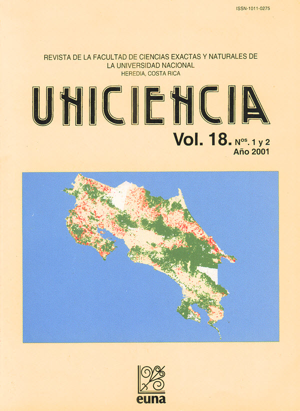
Valoración del riesgo de deforestación fututa en Costa Rica.
Abstract
The article presents a procedure to estimate the future risk of deforestation in Costa Rica. It uses a geographic information system with data layers in “raster” format with cells of 750 m side. The Costa Rican territory comprises about 100,000 cells, including 34,000 in forests in the early 1980s. An explanatory model of the probability of deforestation in 1984-1996 is identified using logistic regression. This model is then applied to demographic data updated to 1996 to estimate the expected probabilities of deforestation of those cells forest-covered in 1996. About 4,000 km2 of 1996 forests are in risk of deforestation in the following 15 years. Of the remaining 15,000 km2 of forests, 73% are in protected areas. Most forests outside protected areas are at high risk of clearing in the coming 15 years. These high-risk forest lands are located mostly in the northern Pacific region, the Caribbean coast and the northern plains. According to the model, the cells at risk of deforestation have 44% likelihood of being, in fact, cleared (if certain past conditions remain constant). These results are a call upon what could happen due to the increased demographic pressure in Costa Rica, if such pressure is not neutralized with appropriate policies.
Downloads
Published
Issue
Section
License
Authors who publish with this journal agree to the following terms:
1. Authors guarantee the journal the right to be the first publication of the work as licensed under a Creative Commons Attribution License that allows others to share the work with an acknowledgment of the work's authorship and initial publication in this journal.
2. Authors can set separate additional agreements for non-exclusive distribution of the version of the work published in the journal (eg, place it in an institutional repository or publish it in a book), with an acknowledgment of its initial publication in this journal.
3. The authors have declared to hold all permissions to use the resources they provided in the paper (images, tables, among others) and assume full responsibility for damages to third parties.
4. The opinions expressed in the paper are the exclusive responsibility of the authors and do not necessarily represent the opinion of the editors or the Universidad Nacional.
Uniciencia Journal and all its productions are under Creative Commons Atribución-NoComercial-SinDerivadas 4.0 Unported.
There is neither fee for access nor Article Processing Charge (APC)


